Hike to Gorak Shep

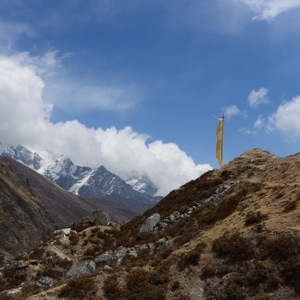
Today we had to make some distance to reach Gorak Shep at 5140 m (16860 ft). After a cold night we again started with spotless weather. On our way looking back I could not believe that I came from that spot up in the mountains.
20140518-102527.jpg
20140518-102545.jpg

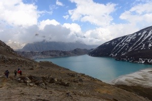
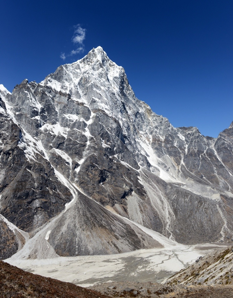
On our way we had georgous sceneries like this one. In this picture you will find tiny spots down at the little stream (you might need to click on the image to see more details). These are yaks! Just to set the scale 😉
20140518-102843.jpg

Later we reached the Kumbu valley which is the main route to the Everest base camp.
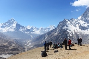
20140518-103028.jpg

You instantly could see this by the size of the trails. No wonder they are called ‘Kumbu Highway’. While walking you encounter much more porters, Yak trains and other big hiking groups.
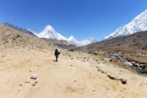
20140518-103246.jpg

At lunch we had the classical Dal Bat, a meal which is also often eaten by the sherpa and that’s why some of us call it ‘Sherpa fuel’
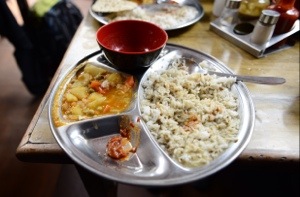
20140518-103527.jpg

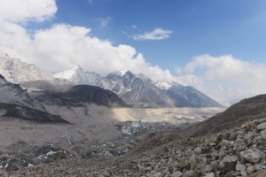
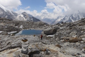
We had another long trail through glacier gravel and rocks of the Kumbu glacier.

20140518-103820.jpg

Looking up we could already see the base camp area and the Kumbu ice fall where the latest tragedy happend and many sherpas died.
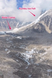
20140518-104206.jpg

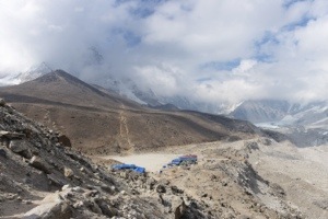
Finally we arrived at Gorak Shep.
20140518-104348.jpg

Crossing the Chula

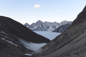
Today we got up very early again to head for the Chu pass at 4am. We had a nice nearly full moon which shined through the fog we had to go through. Once we went above the cloud we had a stunning view on the cloud-filled valley where our lodge was.
20140518-100722.jpg

The first part we went in darkness or without sun so it was pretty chilly. We arrived at a nice spot with great views and sunshine so we could rest and eat something.
20140518-100841.jpg
20140518-100858.jpg

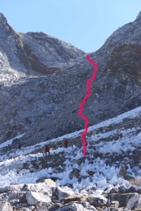
There we also saw what was about to come upon us: A steep field of gravel and big rocks leading up to the pass.
20140518-101003.jpg

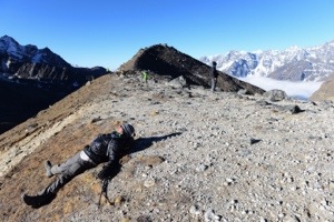
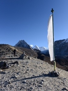
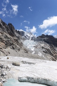
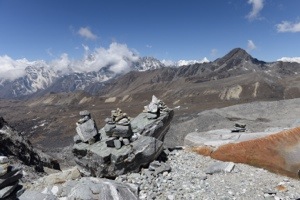
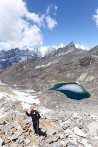
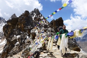
After endless climbing over rocks we finally arrived on the pass at 5420 m (17780 ft). We had a good view on a nice glacier (this time without rocks and gravel) and a tiny glimpse on Mount Everest!
20140518-101137.jpg
20140518-101156.jpg
20140518-101224.jpg

Going down was a little bit easier but also not really easy. We had to cross a big ice field which was beginning to melt in the sun. Some people got wet shoes…
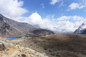
And finally we arrived at our new lodge (Mountain View Lodge) at 4830 m (15850 ft) which is the most basic lodge we had so fare.
20140518-101648.jpg
20140518-101710.jpg

The hike was announced as not so long and hard as the last one. It turned out that it was technically quiet challenging. We had to climb steep rock fields and cross ice fields – nothing for beginners. So for me it was the most exhausting day in my life (again).

Crossing the Ngozumba Glacier

Today we had a very short hike of 3 hours to recover a bit from last day’s strain and to prepare for another pass which we will do tomorrow.
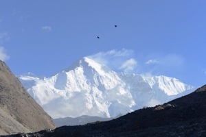
After taking a look at a nice view of a snow covered mountain we headed to the glacier.
20140515-152346.jpg

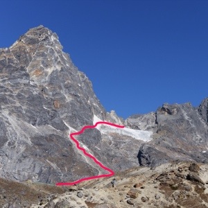
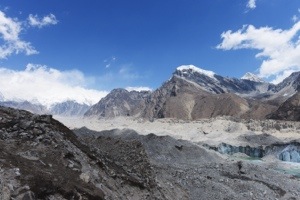
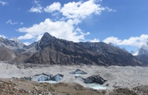
The glacier did not look like you would probably expect. No huge blue surface but a flow of rocks, sand and dust. Just on a few spots you can see the ice. But also no bright blue. I tweaked my photos a little bit to point out where these spots are. The Ngozumba glacier is 32 km long (22 mi) and thus is the largest glacier of the Himalayas.
20140515-152702.jpg 20140515-152736.jpg

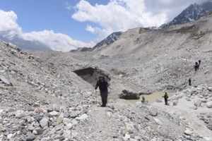
It needs a good deal of going up and down over rocks and stones to cross that glacier. It was also kind of odd to know that you are walking on a moving surface (Although the speed is pretty slow)
20140515-153004.jpg

At the end a yellow flag indicated that we arrived at Chola Pass Resort.

20140515-154555.jpg

Over the Renjo Pass

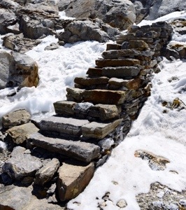
This day was the most exhausting day in my whole life. We started from Lungden at 4300 m (14100 ft) and climbed up to 5350 m (17550 ft) with some steep passages. Especially at the end we had a lot of steps and every one of it was pain. Breathe in – take the step – take a short break and repeat.
Up on the pass I just had enough energy and endorphines to make a happy dance (the song from Pharrel Williams). With some fellow sherpas, porters and trekers joining in. No picture of this though 🙁
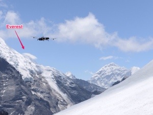
The attraction of this pass is that you might be able to see mount Everest. However it was hidden behind a big cloud (down at one of the photos it is the mountain range on the left third of the picture)
Then Jon started his helicopter drone again and took some aerial footage around the pass. Again no photos of this from me because my energy level was near zero at that time.
After a very challenging descent through rocks and gravel where several of us fell down we finally arrived at Gokyo at 4800 m (15750 ft). And finally the lodge we entered has electric power to recharge our devices and internet. So I could send all the posts I had prepared from the last days (scroll further down to see them)
Here are some impressions from this day:
20140515-074843.jpg
20140515-074849.jpg 20140515-074855.jpg
20140515-074901.jpg 20140515-074909.jpg
20140515-074918.jpg

Rest Day in Lungden

Since we have a hard day coming up we could just hang around and do whatever we like.
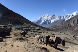
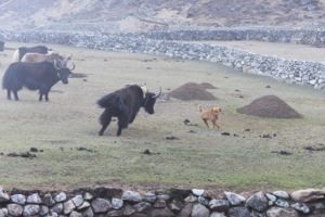
Of course there are the numerous yaks. There was a dog which had a lot of fun chasing and mocking the yaks.
20140514-181014.jpg

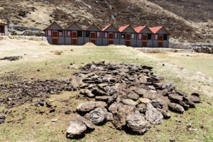
Yaks are very important in this region for multiple purposes: Transportation, Cheese and dried yak dung for heating. Every evening the yaks come from the hils to their home to get som food and deliver there dung. Below you can see how the dung is dried and then collected and piled up.

20140514-180957.jpg 20140514-181004.jpg
20140514-180944.jpg

Another highlight of this day was the test flight of Jon’s quadcopter (helicopter drone with 4 rotors) which can be equiped with a camera.
20140514-181959.jpg 20140514-182018.jpg
20140514-182025.jpg
20140514-182010.jpg